
LandGlide: GPS Property Finder
Real Estate Portal USA
Downloads
1,000,000+
Version
Latest
Click to download now, finish the installation quickly, and directly unlock the all-round experience
Screenshots




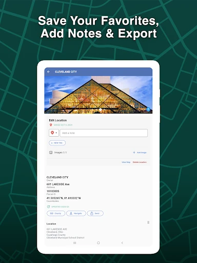
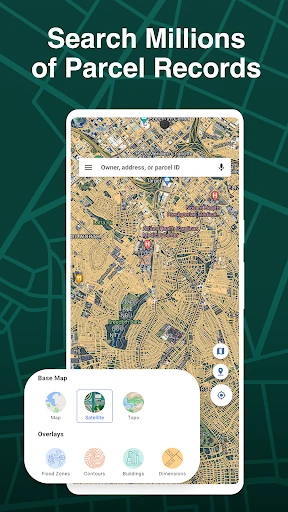
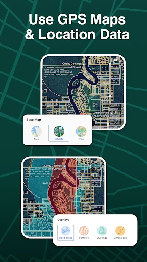
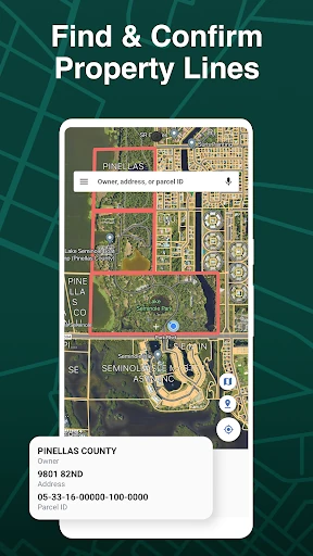

Click to download now, finish the installation quickly, and directly unlock the all-round experience
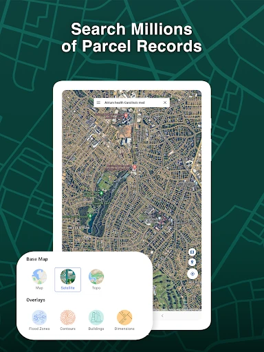
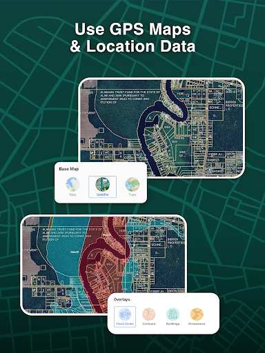
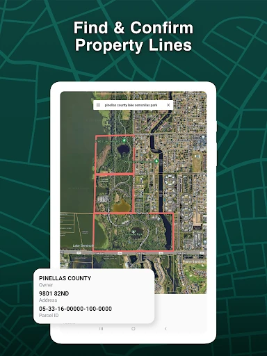
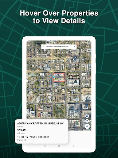
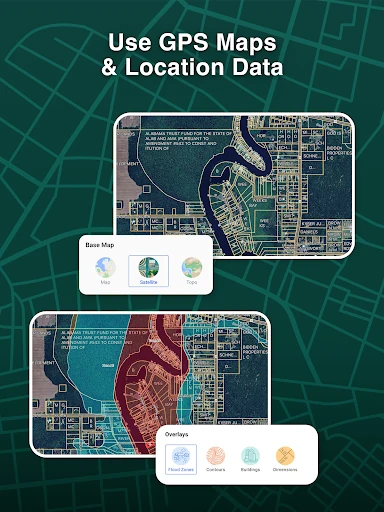
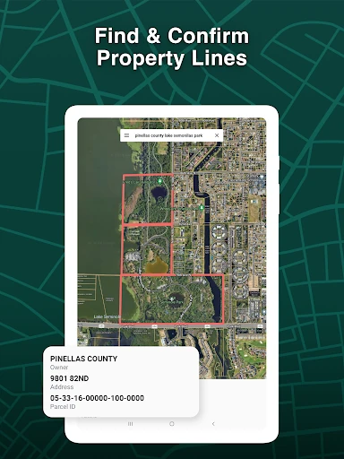
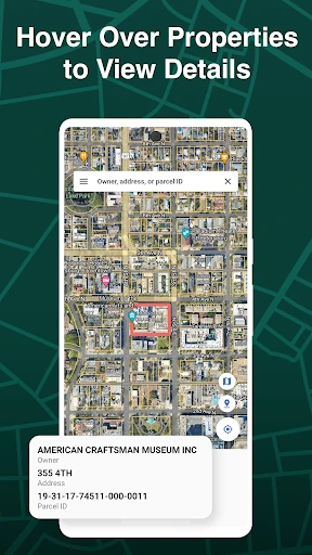
LandGlide: GPS Property Finder is a Maps & Navigation app for locating land parcels and viewing property information in the United States. It uses your phone’s GPS position to show where you are in relation to parcel boundaries, making it useful when inspecting unfamiliar land, checking nearby lots, or researching property in the field.
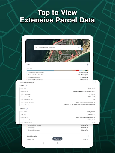
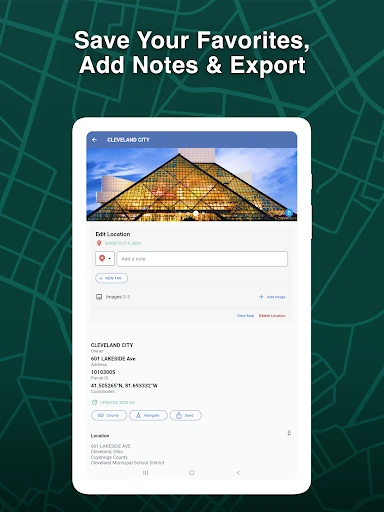
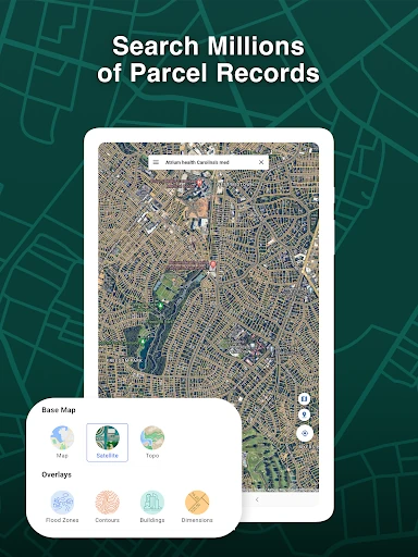
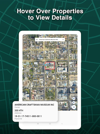
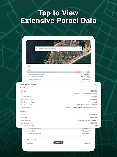
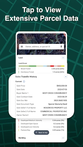
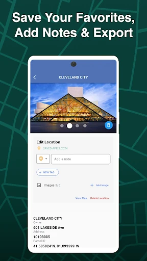
The app supports property searches by physical address, owner name, or parcel number. Parcel records can include information such as sales history, tax assessments, square footage, land use, and other property attributes. That gives real estate agents, surveyors, developers, and property researchers a way to review records without relying only on a general-purpose map.
Coverage and data availability can vary by location, so the app is best treated as a practical research aid rather than a replacement for official surveys or local records. Its focus is clear: connect map location with parcel-level information in one mobile tool.
LandGlide is developed by Real Estate Portal USA and has a 4.27 rating from 8,743 ratings, with 1,000,000+ installs. Those figures suggest a widely used app for users who need more detail than street maps provide, especially when property boundaries and ownership-related records matter.